Video News
User login
Who's online
There are currently 0 users online.
Sponsored by

![]()
Associated with

Object-Oriented Classification and 3D-City Model - intermediate results
A precise estimation of building height is of great importance for reliably characterizing the building volume and, hence, the distribution of the population in the Yellow River Delta (YRD). To this aim we are implementing a fully unsupervised method developed for automatically deriving the height of built-up areas based on the 12 m spatial resolution digital elevation model (DEM) that will be available from the TanDEM-X mission (TDM).
However, as the final TDM DEM is still currently being processed, in order to assess the effectiveness of the method we carried out experiments using the Intermediate DEM (IDEM), which has been exclusively derived from acquisitions of the first global coverage between 2011 and 2012.
As an example, in Fig. 1 we report a perspective view of a subset of the YRD study area from Google Earth (Fig. 1.a) and from the TDM IDEM (Fig. 1.b) and the corresponding 3D view of the estimated mean building height [average computed over a 25 by 25 pixel grid (corresponding to an area of ~300x300 m²)] obtained with the developed novel method (Fig. 1.c). A detailed view for the Western part of Dongying is also reported in Fig. 2.
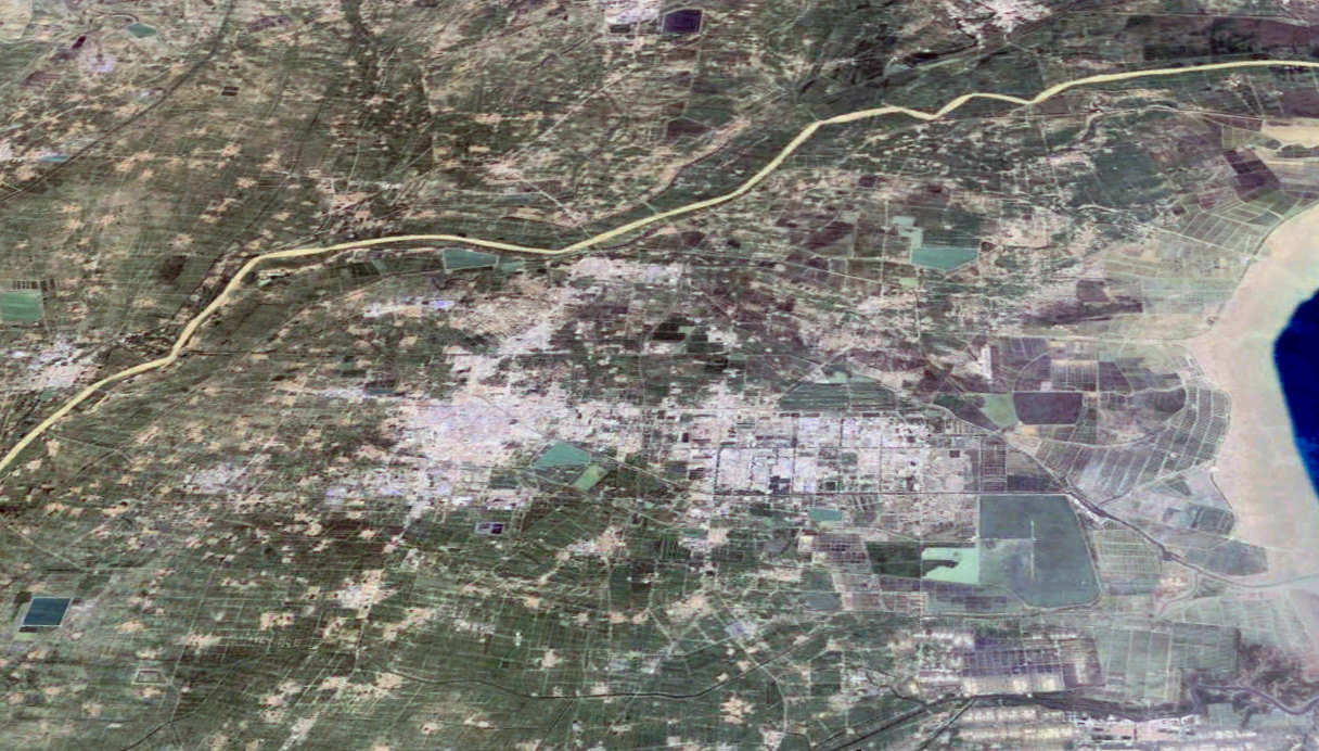 Fig. 1a |
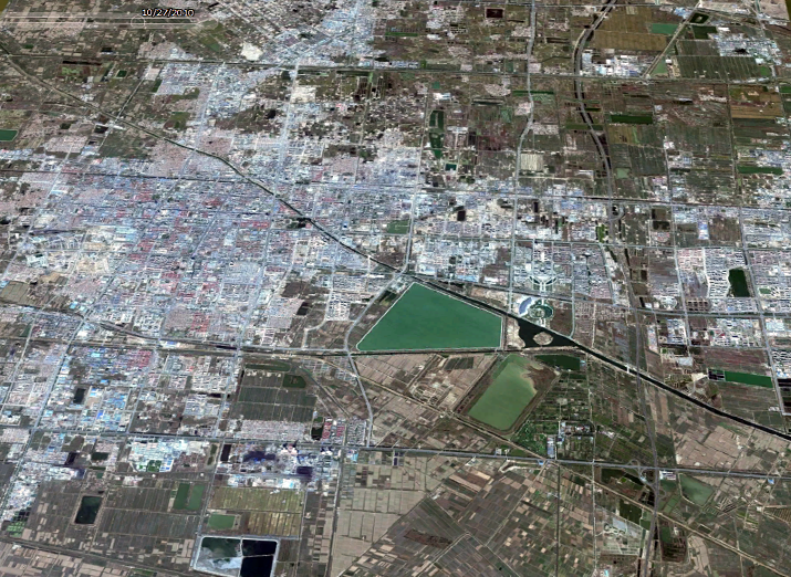 Fig. 2a |
||
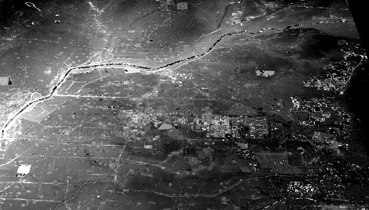 Fig. 1b |
 |
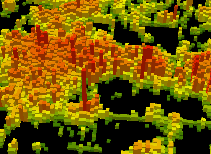 Fig. 2b |
 |
 Fig. 1c |
|